


The New Forest
Around Brockenhurst
Wilverley Plain
I've called this page Wilverley Plain, though from looking at the slightly butchered OS Map from Multimap, there were a number of other options I could have chosen, namely Long Slade Bottom or Hinchelsea Moor.
I headed west along the road with the trig point on it, about 1km north of Sway. I drove past Setthorns Cott (parallel to Long Slade Bottom). I made a brief toilet stop at the junction where I turned right alongside Wilverley Plain (you probably didn't need all that detail), then headed back towards Brockenhurst.
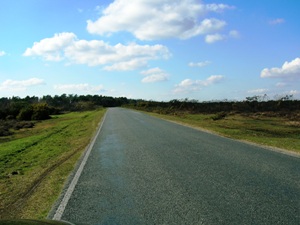
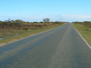
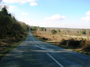
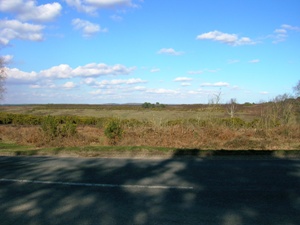
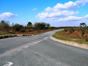
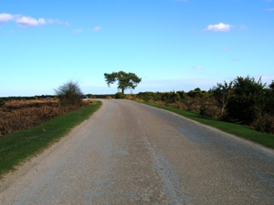
On this page, we start near the trig point, looking west(ish) towards the woods marked Set Thorns Inclosure on the map. The second photo is at the same location, looking in the opposite direction. In the third, we are now alongside Set Thorns Inclosure, where the road dips down to a low point just before we cross the line of an old railway. I saw no evidence of the railway. I didn't have an OS map with me (I hadn't expected to be in the New Forest at all) so I missed a number of features which I now know to be there.
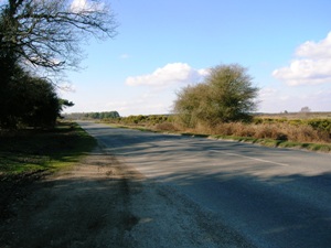
A short distance further along, and I found another place to pull in off the road, where I took the first two pictures below. The final one is taken looking north at the junction next to the picnic area at Wilverley Inclosure.
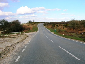
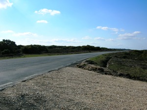
The final three photos are taken on the road near Hinchelsea Moor.
Again, there were plenty of places to pull up on the verge to stop and take photos. I assume it gets much busier in the summer.