


Winnatts Pass - The A625 Page
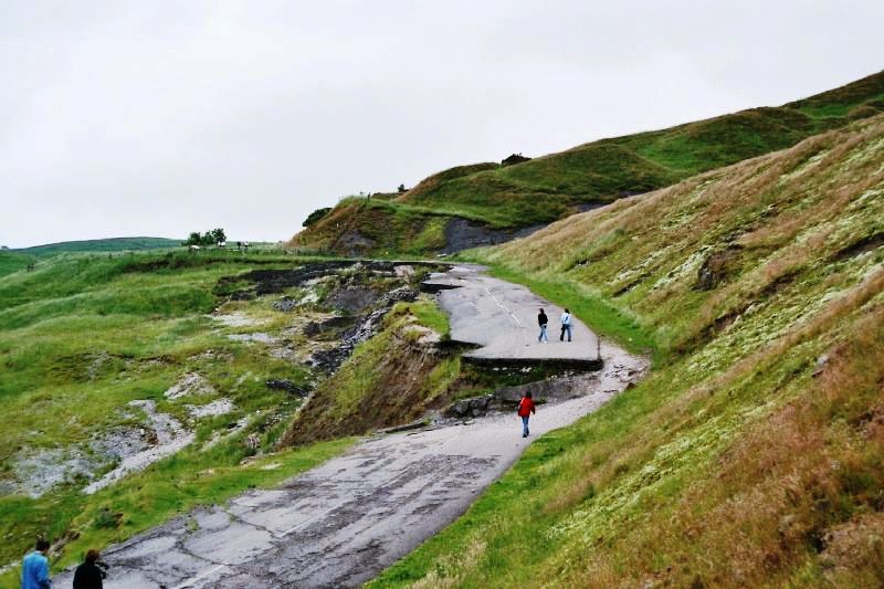
Now we're getting closer to where the road failed. In particular, note the step in the centre of the picture. The road is marked on OS maps as a cycle route. I saw a cyclist tackling the slope alongside the step in the lowest gear I think I have ever seen on a bike, even though it doesn't look too steep in the picture.