The Exmoor Coast
The Lynmouth to Lynton Cliff Railway
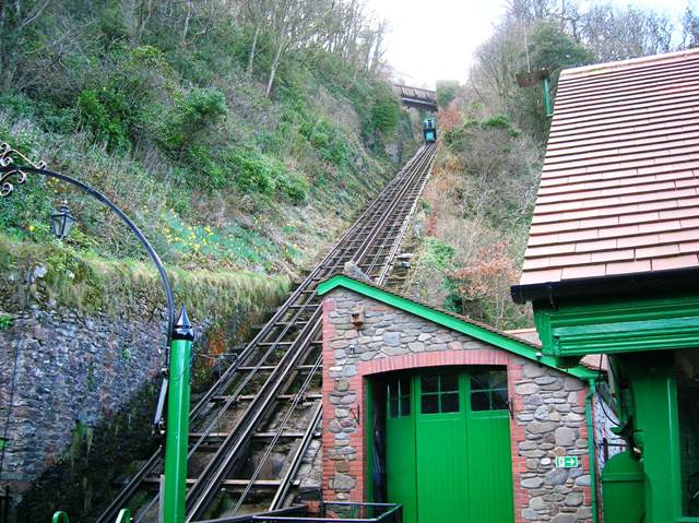
We finish our tour of the Exmoor Coast with a trip on the cliff railway linking the twin towns of Lynton and Lynmouth. The railway is a water-powered funicular railway which climbs 600 feet up the cliff at a gradient of 1 in 2 - much steeper than those roads we've been looking at.
The Lynton and Lynmouth Cliff Railway website contains a comprehensive history of the railway, as well as details of how it works. On this page, I have picked out the main issues which will hopefully give a basic appreciation of the railway.
If you've been following the story along the A39 from the beginning, you'll know that the A39 runs at an altitude of around 1,000 feet between Porlock and Lynmouth, with 1 in 4 slopes down to sea level at each end. Beyond Lynmouth, the story is very similar and, although Lynton and Lynmouth are very close horizontally, getting from one to the other involved either a very long walk, or the need to climb a steep cliff.
We have also seen how remote this part of the English Coast is, which means that Lynmouth harbour took on a great importance in providing access to the communities in this area, particularly if the roads became impassable.
The railway forms a unique solution to this problem. It was opened in 1890, having been designed by George Marks and funded by the publisher, Sir George Newnes.
The remainder of the page consists of a selection of my photographs of the railway, taken in April 2006. Unlike elsewhere on Rural Roads, they don't open up new pages as they are larger than those used elsewhere.
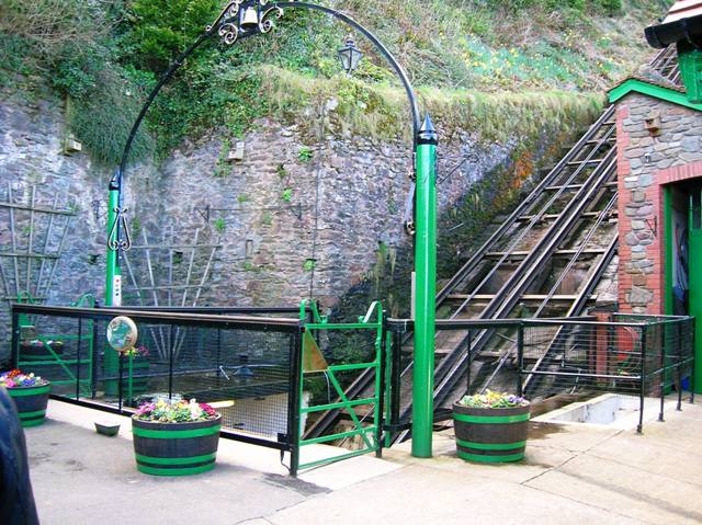
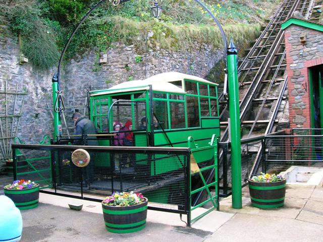
We start at the bottom of the railway in Lynmouth. Everything is finished in a very smart looking green paint. In the second picture, a car has arrived at the bottom station.
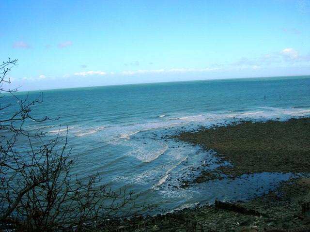
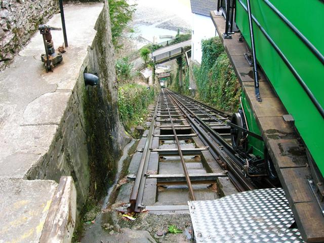
We move to the top for the next photos, pausing to take a view out to sea on the way up. In the second picture, have a look at the wheel detail.
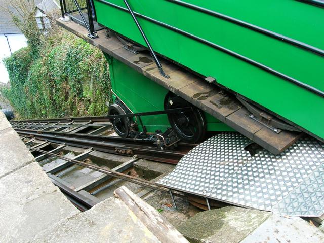
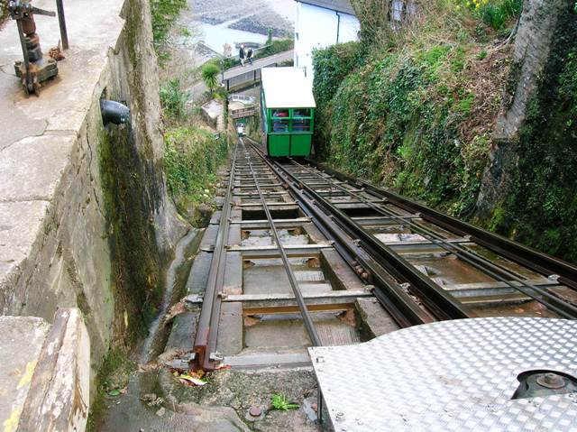
Another chance to look at the detail of how the car sits on the track. The cars are linked by cable, which runs around the giant pulley hidden under the stainless steel cover.
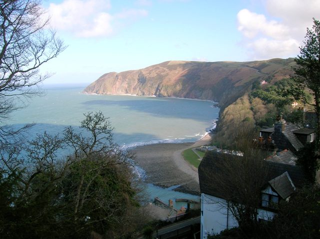
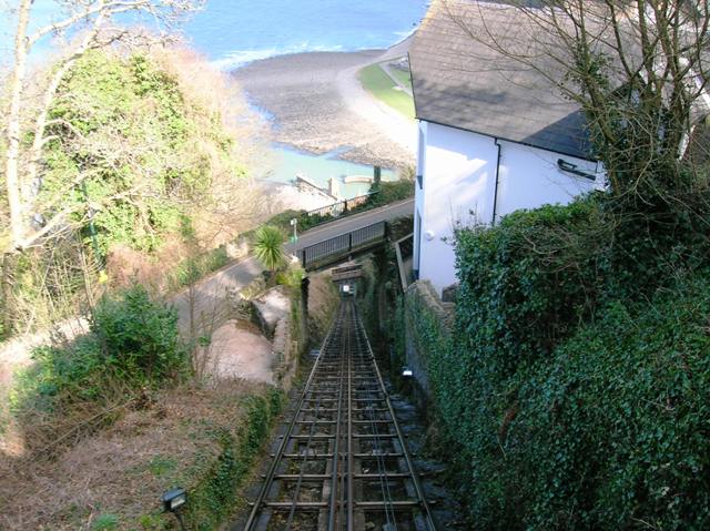
On the way down, I took this picture of the cliffs west of Lynmouth. You can just about make out where the A39 climbs up Countisbury Hill. The second picture shows the view down the track. A footpath winds its way between the two stations, crossing the railway three times on timber footbridges like the one shown in this picture.
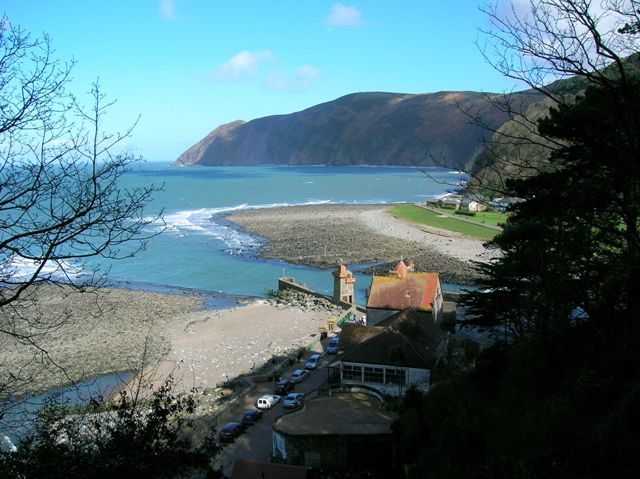
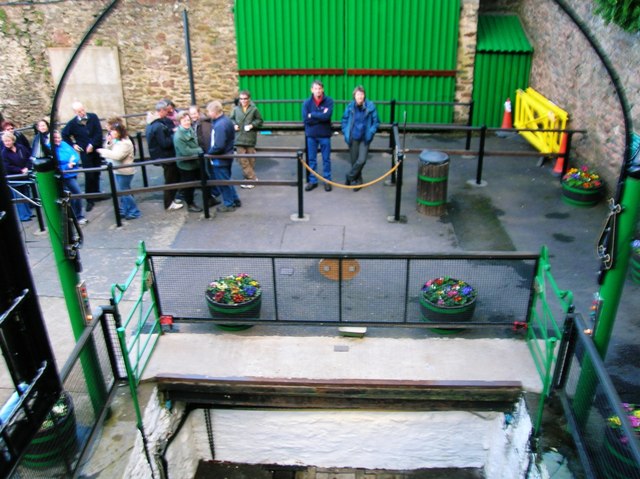
Another view taken on the way down looking out to see. We then finish with a look at our approach to the bottom station.
Exmoor Coast - Introduction
Exmoor Coast - West from Minehead
Exmoor Coast - Porlock Village
Exmoor Coast - Porlock Hill
Exmoor Coast - From Porlock Hill to Devon
Exmoor Coast - The Impenetrable Coast
Exmoor Coast - Lynton and Lynmouth
Exmoor Coast - The Lynmouth Flood
Exmoor Coast - Lynton and Lynmouth Cliff Railway
Copyright © 2006 Simon Davies


